Today I spent the whole day exploring the western (Beer) side of Seaton beach, a little past the lovely Hideaway cafe. Having grown up in Uplyme, I never really felt Seaton offered much to me in terms of shopping and beach walks. Lyme has the beauty baked in everywhere you go but today, I saw a new side to Seaton, literally.
If you were looking at Seaton from a map, you will see that it sits bang in the middle between two cliffs- one towards the east at Axmouth harbour and the other at the west towards Beer. The west side is visually very different from the east mainly due to how the beach curves around to meet the base of a huge chalk-coloured cliff face that obscures the next bay at Beer. There is also a striking orange coloured cliff face running along the right hand side. It looks like how I imagine a hidden pirate cove would look. It also reminds me of the beach in Dawlish Warren:

A few paces beyond the cafe, the rockface on the right forks away from the cliff face revealing a chasm of unstable sodden and muddy earth. An old chain-link fence, hangs in mid air. These are the traits of coastal erosion and landslides seen all along the Jurassic Coast.


I took my time and walked to the other end of the beach where I found a railing leading to a footpath up to a place called Seaton Hole. Why it is called this, I don’t know yet but I was drawn to explore this new direction instead of continuing along the beach towards the cliff base. I didn’t even know these steps existed and it was good to know there was a way off the beach if I ever needed to make a quick escape.


After a very steep ascent the path sharply switches direction to the right where an original paved and stepped path is just visible underneath the overgrown brambles next the the handrail. I realised this must have been the original pathway before it got dangerously close to the cliff edge and they had to close it off.
These old paved steps intrigued me- how long have they been disused? What did the cliff path look like before abandoned it? How long ago did this happen? What has already dissapeared?


I often feel a kind of sadness knowing that something will eventually be gone forever, taken back by nature.
At the top of the path you arrive at a public toilet and cafe- both of which were closed during these winter months. There is also a South West Water box with the sound of rushing water below. I assume this is the confluence of a few natural run-off drains that end on the beach below.


Looking around there are some huge houses set quite far back from the cafe where I stood. I could see a large retirement home, a number of wealthy private homes and some guest houses. At this point you’re presented with a lovely old-fashioned sign post pointing in three directions. One goes straight ahead on a road, one goes left towards Beer (unsuitable for motors) and one off to the right.
Standing at this junction I felt like I’d stepped back in time to a victorian era of grand houses and the romantisism of victorian coastal splendour. The charm of the place is evident but it was also strangely quiet for a place quite built up.
The street sign across the road read “Old Beer Road” and behind that through the trees I could see the main road so this, I gathered must have been a very old route before they created the main road to Beer.
I set off to the right, along the old beer road figuring I could walk back into Seaton via the top cliffs.


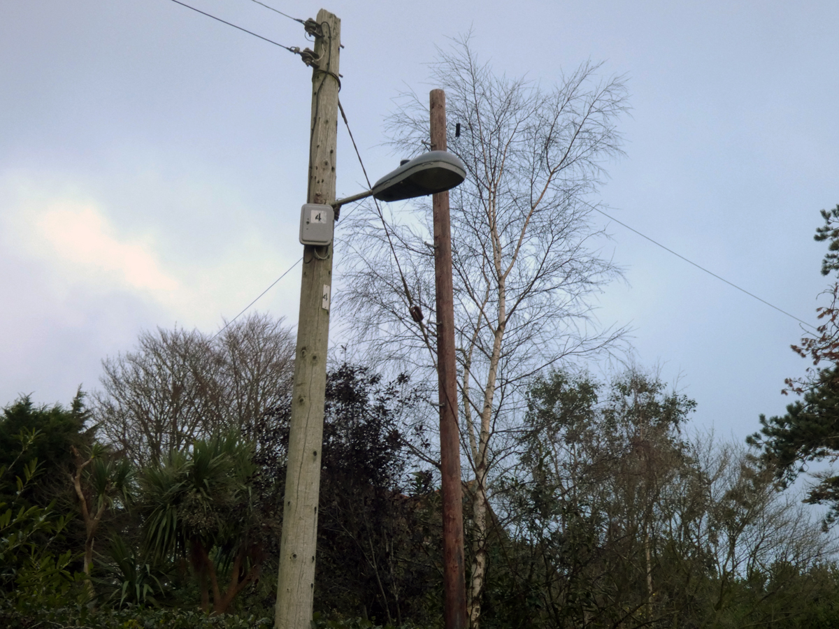
As I progressed further up the road I then realised why this road doesn’t have any cars or people. It abrubly ends at a serious looking metal gate (I don’t recall this being there!). Frustratingly (now knowing I had to go back home along the beach), I progressed along the road to see what was behind the metal gate.
Along the way you can see an old crossing point made out from the dropped curb, and double yellow lines running to the end of the road.


In the picture above, you can see that the property had access to the road but it’s on the wrong side of the fence.
I peered through the metal railings to make out and the road ahead. About 15 metres ahead of me, the road dissapears into a sheer drop off the cliff face, exposing old pipes and wires. I’m honestly shocked and equally fascinated that a sturdy looking road with nearby property can just fall towards the sea. It doesn’t bode well for the nearby property and I sincerely hope that nothing else falls away.
Finding another route
I walked back along the beach and got some shots of the landslide from below.

From the beach below you can just make out the thin crispy edge of the tarmac at the top of the cliff. Amazingly there is a fully upright but dead? tree. I don’t really understand how it would have got there so undisturbed… Here are some close-up pictures of the landslide:


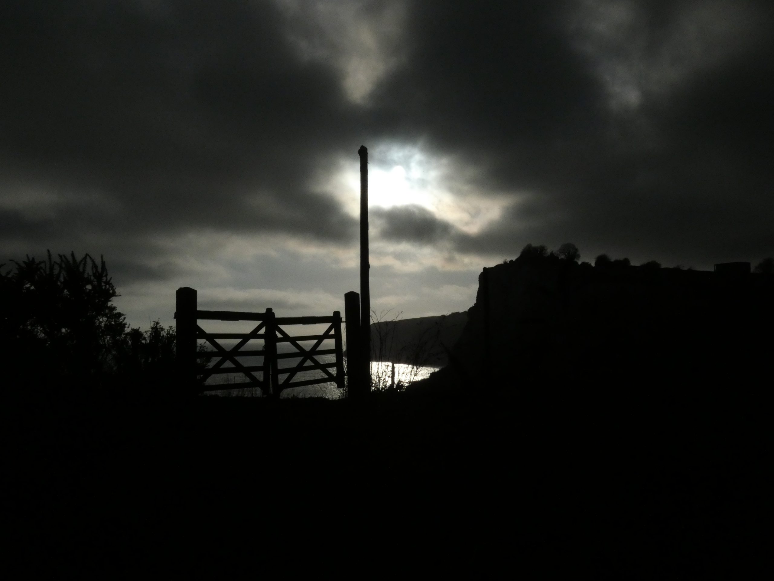
I drove my car back to the other side, searching for the Old Beer Road sign and parked my car a small distance from the green gates. From this side I had a much wider view of the damaged road. I can describe it as being both beautiful and unreal in the sense that the landscape just dissapears into orange cliff- it’s a bizarre feeling. There is a house that is literally on the cliff face, its garden hanging over the precipice. It still appears people live there, a scary existence on the edge.


This landslide happened back in the Summer of 2012 and here are some links to related articles about it: